Walton Park and Stonehenge West, recorded from 1976 on along Walton Park Road, are in ZIP 23114 and zoned for Watkins, Midlothian Middle and Midlothian High.
Last checked Oct. 19, 2026. Sources: Chesterfield County’s open GIS data (subdivision records, address points, school zones and parks), the Virginia Department of Education’s School Quality Profiles, Zillow Research, GRTC and OpenStreetMap.
Walton Park is the east side of Midlothian, along Walton Park Road and Queensgate Road, and one of its older subdivisions. Chesterfield County recorded its first section in 1976. OpenStreetMap names the area Walton Park. With the smaller Stonehenge West next to it, it has about 900 addresses on about 427 acres, none of them apartment or condominium units in the county’s address data.
What this means for you
- Zoned high school: Midlothian High for the whole area. Check an address on the Find My School lookup.
- Home value: $468,325 in ZIP 23114 in September 2026, according to the Zillow Home Value Index.
- Nearest highway: Route 288 at Midlothian Turnpike, about 3.7 miles by road.
Part of our Midlothian neighborhoods guide.
Where it is
The area lies south of Midlothian Village, east of The Grove and North Woolridge Road, and north of Evergreen. Walton Park Road and Queensgate Road run through it, and Walton Bluff Parkway reaches its southern end. The Census boundary, near Falling Creek, forms its eastern edge. It is all in ZIP code 23114.
The county’s records list two subdivisions:
- Walton Park, about 825 addresses, recorded in sections from Section A in 1976 to Section T in 1993, plus a small Section U in 2018, along streets such as Watch Hill Road, Glenpark Lane, Glenmeadow Road, Walton Ridge Lane and Old Country Lane.
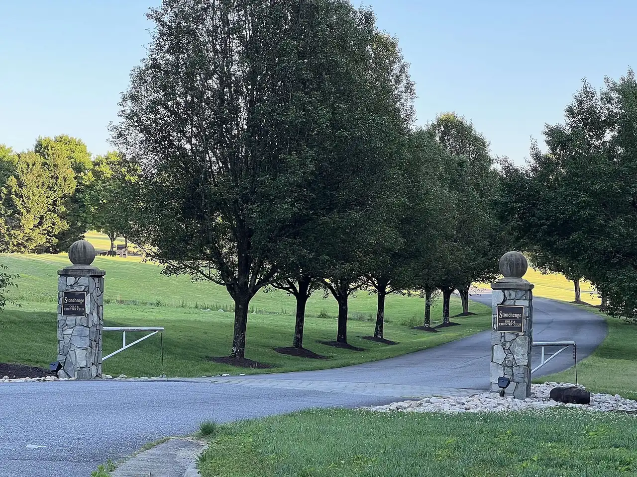
- Stonehenge West, about 80 addresses on Rossmere Drive and Ashtree Road, recorded in four sections from 1978 to 1984. It is separate from the Stonehenge neighborhood and golf club to the east.
More than half the addresses are on land zoned R-7, a county single-family district, and about a quarter on R-12. Chesterfield County, not a town, runs police, fire and planning here.
Schools
Shares are of the area’s county address points. All three schools are Fully Accredited for 2025-26 on Virginia’s School Quality Profiles; pass rates are for all students on the 2025-26 Standards of Learning tests.
| Level | School | Share of the area | Reading pass rate | Math pass rate |
|---|---|---|---|---|
| High | Midlothian High, 401 Charter Colony Parkway | 100% | 96% | 82% |
| Middle | Midlothian Middle, 13501 Midlothian Turnpike | 100% | 88% | 87% |
| Elementary | J.B. Watkins Elementary, 501 Coalfield Road | 100% | 89% | 92% |
Queensmill and Evergreen, to the south and southwest, are zoned for Evergreen Elementary and mostly Tomahawk Creek Middle, so addresses near the southern edge should be checked on the lookup. More in our schools guide.
Home values
The typical home value in ZIP 23114 was $468,325 in September 2026, up 2.7% from $456,008 a year earlier, according to the Zillow Home Value Index. The index is a modeled typical value for the middle third of homes, not a sale price, and covers the whole ZIP code. Zillow’s figure for its Midlothian area was $468,594. More in our home prices guide.
Parks and trails
- Mid-Lothian Mines Park, 13301 N. Woolridge Road, touches the area’s western edge: 44 acres around the Grove Shaft ruins and the pond the county calls Loch Lothian, with a boardwalk and trails, open 6 a.m. to 8:30 p.m. daily.
- Midlothian Middle School Athletic Complex, in the county’s park layer, about four-tenths of a mile north.
- Walton Park Community Center, shown in OpenStreetMap inside the area.
- Stonehenge Country Club, 1000 Farnham Drive, a private golf club about a quarter-mile east, according to OpenStreetMap.
More in our parks and trails guide.
Getting around
- Highways: about 3.7 miles by road to Route 288 at Midlothian Turnpike, and about 4.1 miles to Powhite Parkway at Charter Colony Parkway.
- The village, downtown and the airport: about 1.7 miles to Midlothian Turnpike at Coalfield Road, 15 miles to downtown Richmond and 25 miles to Richmond International Airport.
Distances are measured on the OpenStreetMap road network with the OSRM routing engine from the middle of the area; they are not drive times.
- Buses: GRTC Route 1A has its last stops at Walmart Way and the Walmart parking lot on Midlothian Turnpike, about half a mile north of the area’s edge, according to GRTC’s schedule data for Oct. 18, 2026, to Jan. 23, 2027. GRTC buses are fare-free.
More in our getting around guide.
Groceries and everyday stores
From OpenStreetMap, all on or near Midlothian Turnpike, about half a mile north of the area’s edge:
- Walgreens, 112 Browns Way Road
- CVS Pharmacy, 13180 Midlothian Turnpike
- Food Lion, Village Marketplace, Midlothian Turnpike
- Walmart Supercenter, 900 Walmart Way
- Wegmans, 12501 Stone Village Way
How we drew this area
The area is the Walton Park and Stonehenge West subdivisions inside the Census boundary, as recorded by the county. School and ZIP shares are counts of county address points, checked Oct. 19, 2026. Store and road locations are © OpenStreetMap contributors.
Frequently asked questions
What schools serve Walton Park in Midlothian?
Every Walton Park address is zoned for J.B. Watkins Elementary, Midlothian Middle and Midlothian High in the county’s data. All three were Fully Accredited for 2025-26.
What ZIP code is Walton Park, Midlothian?
- Zillow’s typical home value for 23114 was $468,325 in September 2026, up 2.7% in a year.
How old is Walton Park?
Chesterfield County’s records show Walton Park’s first section recorded in 1976 and most of the rest by 1993, with one small section added in 2018. Stonehenge West was recorded from 1978 to 1984.
Is there a bus near Walton Park?
GRTC Route 1A, which is fare-free, has its last stops at Walmart Way on Midlothian Turnpike, about half a mile north of the area’s edge.
Have your say