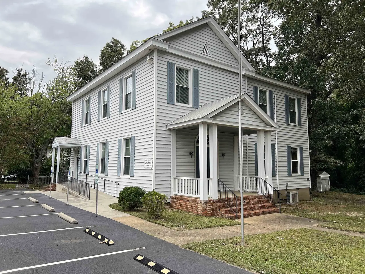
Midlothian Village, the county's village core on Midlothian Turnpike, spans ZIP codes 23114 and 23113 and is zoned for Midlothian High School.
Last checked Oct. 19, 2026. Sources: Chesterfield County’s open GIS data (Midlothian Special Design District, subdivision records, address points and school zones), the county’s Midlothian Community Special Area Plan, the Virginia Department of Education’s School Quality Profiles, Zillow Research, GRTC and OpenStreetMap.
Midlothian Village is the old center of Midlothian, on Midlothian Turnpike (U.S. 60). The county’s Midlothian Community Special Area Plan, adopted in 2019, calls it the village core and says it “serves as the center for existing commercial development and higher density residential in Midlothian.” It holds the most addresses of the eight areas in our guide, about 2,670, many of them apartments, condominiums and townhouses.
What this means for you
- Zoned high school: Midlothian High for every village address. Check an address on the Find My School lookup.
- Home value: $468,325 in ZIP 23114 and $720,126 in ZIP 23113 in September 2026, according to the Zillow Home Value Index.
- Nearest highway: Route 288 at Midlothian Turnpike, about 2 miles by road from the middle of the village.
Part of our Midlothian neighborhoods guide. For things to do here, see A guide to Midlothian Village.
Where it is
The plan draws the village core along Midlothian Turnpike from the Norfolk Southern railroad on the north and west to Falling Creek on the east and Woolridge Road on the south. This page uses the county’s Midlothian Special Design District map layer, which covers that core, about 1,190 acres inside the Census boundary. Midlothian Turnpike, Coalfield Road, Charter Colony Parkway, Woolridge Road and Winterfield Road are the main roads.
About 58% of the area’s addresses are in ZIP code 23114, mostly south of the turnpike, and 42% in ZIP code 23113, mostly north of it.
The plan says all three public schools in its area, J.B. Watkins Elementary, Midlothian Middle and Midlothian High, are inside the village core, along with the Midlothian Library and Fire Station 5. It names Sycamore Square, Midlothian Station, Ivymont Square, the Charter Colony Shopping Center and Village Marketplace as shopping centers that could be redeveloped with housing and shops in a walkable, village-scale pattern.
The county’s subdivision records name the housing here. The largest by number of addresses are Coalfield Station, Enclave at the Green apartments, Winterfield at Midlothian apartments, Randolph Pond (recorded in 2022), Summerfield Senior Apartments, Charter Colony Senior Apartments, Sycamore Village, Midlothian Wood Condominiums, Crofton Village (recorded in 2016), Sycamore Mews and Sycamore Place (recorded in 2024). About 690 addresses, mostly businesses along the turnpike, are in no subdivision. History of the village is in our history guide.
Schools
Shares are of the area’s county address points. All four schools are Fully Accredited for 2025-26 on Virginia’s School Quality Profiles; pass rates are for all students on the 2025-26 Standards of Learning tests.
| Level | School | Share of the area | Reading pass rate | Math pass rate |
|---|---|---|---|---|
| High | Midlothian High, 401 Charter Colony Parkway | 100% | 96% | 82% |
| Middle | Midlothian Middle, 13501 Midlothian Turnpike | 100% | 88% | 87% |
| Elementary | J.B. Watkins Elementary, 501 Coalfield Road | 96% | 89% | 92% |
| Elementary | Robious Elementary, 2801 Robious Crossing Drive | 4% | 83% | 81% |
The plan says Watkins was built in 1966 and is named for John Benjamin Watkins, founder of Watkins Nursery, and that Midlothian Middle opened for the 1984-85 school year when Midlothian High moved to Charter Colony Parkway. Robious covers a few addresses at the northeast edge. More in our schools guide.
Home values
The typical home value in ZIP 23114 was $468,325 in September 2026, up 2.7% from $456,008 a year earlier, and in ZIP 23113 it was $720,126, up 4.5% from $689,091, according to the Zillow Home Value Index. The index is a modeled typical value for the middle third of homes, not a sale price, and covers each whole ZIP code; 23113 reaches far north of the village to the James River. Zillow’s figure for its Midlothian area was $468,594. More in our home prices guide.
Parks and trails
From Chesterfield County’s park layer and facility pages:
- Mid-Lothian Mines Park, 13301 N. Woolridge Road, at the village’s southern edge: 44 acres around the Grove Shaft ruins and the pond the county calls Loch Lothian, with a boardwalk and trails, open 6 a.m. to 8:30 p.m. daily.
- Midlothian Village Park, 13801 Westfield Road: 6 acres with 0.3 mile of unpaved trail.
- Midlothian Middle School Athletic Complex, listed in the county’s park layer, on the school grounds at 13501 Midlothian Turnpike.
More in our parks and trails guide.
Getting around
- Highways: about 2.1 miles by road to Route 288 at Midlothian Turnpike, and about 3.9 miles to Powhite Parkway at Charter Colony Parkway.
- Downtown and the airport: about 15 miles to downtown Richmond and 25 miles to Richmond International Airport.
Distances are measured on the OpenStreetMap road network with the OSRM routing engine from the middle of the area; they are not drive times.
- Buses: GRTC Route 1A runs along Midlothian Turnpike to its last stops at Walmart Way, just past the village’s eastern edge, according to GRTC’s schedule data for Oct. 18, 2026, to Jan. 23, 2027. GRTC buses are fare-free.
More in our getting around guide.
Groceries and everyday stores
From OpenStreetMap:
- Kroger, 14241 Midlothian Turnpike
- Publix, 200 Charter Colony Parkway
- Aldi, 14381 Winterview Parkway
- Lidl, Midlothian Turnpike at Charter Colony Parkway
- Food Lion, Village Marketplace, Midlothian Turnpike
- CVS Pharmacy, 13180 Midlothian Turnpike
- Walgreens, 112 Browns Way Road
- Midlothian Apothecary, 13500 Midlothian Turnpike
- Midlothian Post Office, 1201 Sycamore Square Drive
How we drew this area
The area is the county’s Midlothian Special Design District inside the Census boundary, plus Crofton Village and the Charter Colony Senior Apartments, which sit inside it. School and ZIP shares are counts of county address points, checked Oct. 19, 2026, not land shares. Store and road locations are © OpenStreetMap contributors.
Frequently asked questions
What schools serve Midlothian Village?
In the county’s address data, 96% of village addresses are zoned for J.B. Watkins Elementary and 4% for Robious Elementary, and all are zoned for Midlothian Middle and Midlothian High. All four were Fully Accredited for 2025-26.
What ZIP code is Midlothian Village?
Both 23114 and 23113. About 58% of village addresses are in 23114, mostly south of Midlothian Turnpike, and 42% in 23113, mostly north of it. Zillow’s typical value was $468,325 in 23114 and $720,126 in 23113 in September 2026.
Where is the village core in Midlothian?
Chesterfield County’s Midlothian Community Special Area Plan centers it on Midlothian Turnpike, from the Norfolk Southern railroad on the north and west to Falling Creek on the east and Woolridge Road on the south.
Is Mid-Lothian Mines Park in the village?
It is at the village’s southern edge, at 13301 N. Woolridge Road. The 44-acre county park is open 6 a.m. to 8:30 p.m. daily.
Have your say