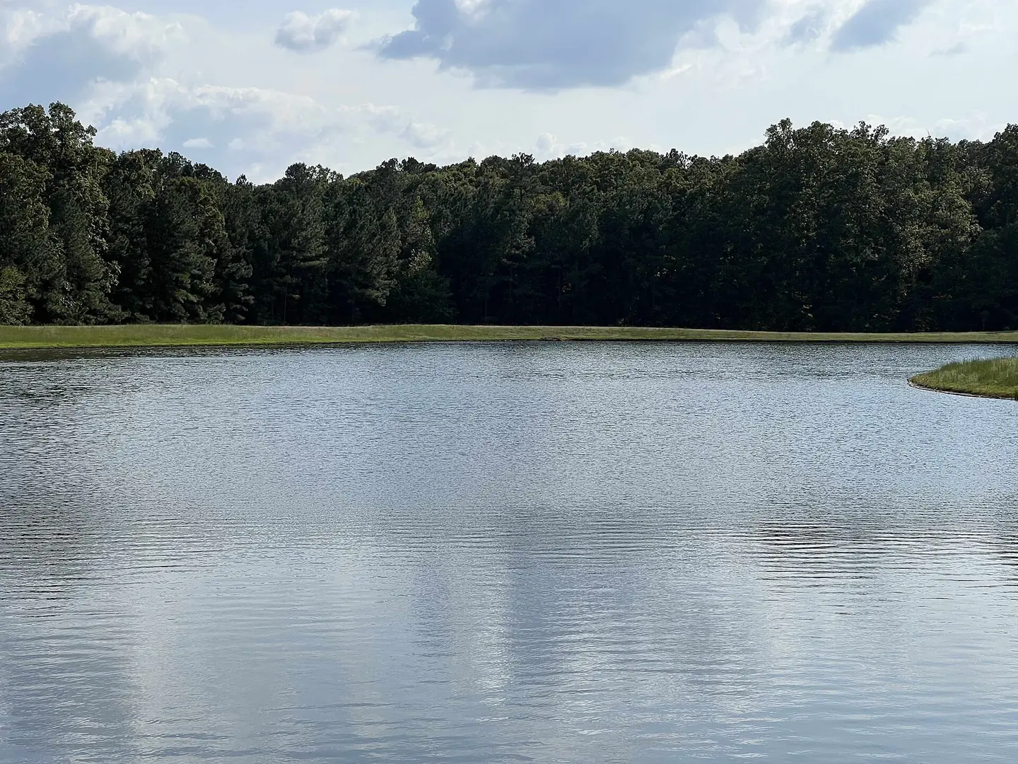
Queensmill, with Queensgate and Queensbluff, sits between The Grove and Lucks Lane in ZIP 23114, zoned for Evergreen, Tomahawk Creek and Midlothian High.
Last checked Oct. 19, 2026. Sources: Chesterfield County’s open GIS data (subdivision records, address points, school zones and parks), the county’s Midlothian Community Special Area Plan, the Virginia Department of Education’s School Quality Profiles, Zillow Research, GRTC and OpenStreetMap.
Queensmill is the south-central part of Midlothian, between The Grove and Lucks Lane. OpenStreetMap names the area Queensmill, and Chesterfield County’s records list four subdivisions that share the name’s start: Queensmill, Queensmill North, Queensgate and Queensbluff. Together they have about 650 addresses on about 485 acres, nearly all of them single-family homes.
What this means for you
- Zoned high school: Midlothian High for the whole area. Check an address on the Find My School lookup.
- Home value: $468,325 in ZIP 23114 in September 2026, according to the Zillow Home Value Index.
- Nearest highway: Powhite Parkway at Charter Colony Parkway, about 3 miles by road.
Part of our Midlothian neighborhoods guide.
Where it is
The area runs from The Grove south to Lucks Lane, with Route 288 on its western edge, Walton Bluff Parkway on its eastern edge and Evergreen beyond it. Coalfield Road and Queensgate Road cross it. It is all in ZIP code 23114.
By number of addresses the subdivisions are:
- Queensmill, about 470 addresses, recorded in sections from 1979 to 1992, along streets such as Kingscross Road, Castle Hollow Road, Darrell Drive and Wesanne Lane.
- Queensgate, about 90 addresses, recorded in 2012 and 2013, along Miners Trail Road.
- Queensbluff, about 55 addresses, recorded in 2015, along Braisden Road.
- Queensmill North, about 40 addresses on Dawnwood Road, recorded in 1983 and 1984.
The county’s plan counts 75 homes built in Queensgate and 33 in Queensbluff from 2008 to 2018. About three-quarters of the area’s addresses are on land zoned R-15, a county single-family district. Chesterfield County, not a town, runs police, fire and planning here.
Schools
Shares are of the area’s county address points. All three schools are Fully Accredited for 2025-26 on Virginia’s School Quality Profiles; pass rates are for all students on the 2025-26 Standards of Learning tests.
| Level | School | Share of the area | Reading pass rate | Math pass rate |
|---|---|---|---|---|
| High | Midlothian High, 401 Charter Colony Parkway | 100% | 96% | 82% |
| Middle | Tomahawk Creek Middle, 1600 Learning Place Loop | 100% | 89% | 89% |
| Elementary | Evergreen Elementary, 1701 Evergreen East Parkway | 100% | 69% | 71% |
Queensmill’s neighbors to the north, The Grove and Walton Park, are zoned for Watkins Elementary and Midlothian Middle instead, so the line between zones runs along the area’s northern edge. Check the exact address on the lookup. More in our schools guide.
Home values
The typical home value in ZIP 23114 was $468,325 in September 2026, up 2.7% from $456,008 a year earlier, according to the Zillow Home Value Index. The index is a modeled typical value for the middle third of homes, not a sale price, and covers the whole ZIP code. Zillow’s figure for its Midlothian area was $468,594. More in our home prices guide.
Parks and trails
- Mid-Lothian Mines Park, 13301 N. Woolridge Road, about a tenth of a mile from the area’s northern edge: 44 acres with the mine ruins, a pond, boardwalk and trails, open 6 a.m. to 8:30 p.m. daily.
- River City Sportsplex, 13030 Genito Road, the county’s tournament field complex, about three-quarters of a mile southeast.
- Queensmill Recreation Association, shown in OpenStreetMap inside the area.
The county’s park layer also lists a small Evergreen Parkway-Lucks Lane Park site, about half a mile east, as unopened. More in our parks and trails guide.
Getting around
- Highways: about 3 miles by road to Powhite Parkway at Charter Colony Parkway, and about 4.4 miles to Route 288 at Midlothian Turnpike.
- The village, downtown and the airport: about 2.9 miles to Midlothian Turnpike at Coalfield Road, 16 miles to downtown Richmond and 26 miles to Richmond International Airport.
Distances are measured on the OpenStreetMap road network with the OSRM routing engine from the middle of the area; they are not drive times.
- Buses: GRTC’s schedule data for Oct. 18, 2026, to Jan. 23, 2027, has no stop in the area. The nearest is the Route 1A stop at Walmart Way, about 1.4 miles from the area’s edge.
More in our getting around guide.
Groceries and everyday stores
From OpenStreetMap, measured in a straight line from the middle of the area:
- Sheetz, 12851 Lucks Lane, at the area’s southeast corner
- Harness Health Pharmacy, 13710 St. Francis Blvd., about a mile southwest at Bon Secours St. Francis Medical Center
- Food Lion, Wilton Square at Brandermill on Genito Road, about 1.8 miles south
- Kroger, 14241 Midlothian Turnpike, about 2 miles north
How we drew this area
The area is the Queensmill, Queensmill North, Queensgate and Queensbluff subdivisions inside the Census boundary, as recorded by the county. School and ZIP shares are counts of county address points, checked Oct. 19, 2026. Store and road locations are © OpenStreetMap contributors.
Frequently asked questions
What schools serve Queensmill in Midlothian?
Every Queensmill address is zoned for Evergreen Elementary, Tomahawk Creek Middle and Midlothian High in the county’s data. All three were Fully Accredited for 2025-26.
What ZIP code is Queensmill?
- Zillow’s typical home value for 23114 was $468,325 in September 2026, up 2.7% in a year.
When was Queensmill built?
Chesterfield County’s records show Queensmill recorded in sections from 1979 to 1992 and Queensmill North in 1983 and 1984. The newer Queensgate was recorded in 2012 and 2013 and Queensbluff in 2015.
How far is Queensmill from Mid-Lothian Mines Park?
About a tenth of a mile from the area’s northern edge. The county park at 13301 N. Woolridge Road is open 6 a.m. to 8:30 p.m. daily.
Have your say