Charter Colony, the villages along Charter Colony Parkway, is in ZIP 23114 and zoned for Midlothian High; its elementary zone splits Watkins and Evergreen.
Last checked Oct. 19, 2026. Sources: Chesterfield County’s open GIS data (subdivision records, address points and school zones), the county’s Midlothian Community Special Area Plan, the Virginia Department of Education’s School Quality Profiles, Zillow Research and OpenStreetMap.
Charter Colony is the west side of Midlothian, a run of neighborhoods the county records each as a “village at Charter Colony” along Charter Colony Parkway, Woolridge Road and Coalfield Road. OpenStreetMap names the whole area Charter Colony. With about 2,200 addresses it is the second-largest of the eight areas in our guide.
What this means for you
- Zoned high school: Midlothian High for the whole area; the elementary and middle schools split north and south. Check an address on the Find My School lookup.
- Home value: $468,325 in ZIP 23114 in September 2026, according to the Zillow Home Value Index.
- Nearest highway: Powhite Parkway at Charter Colony Parkway, about 2.4 miles by road.
Part of our Midlothian neighborhoods guide.
Where it is
The area runs from the village core near Midlothian Turnpike south along Charter Colony Parkway, on both sides of Route 288, which cuts across it. It is all in ZIP code 23114. Midlothian Village is to the north, The Grove to the east and Centerpointe to the south.
The county’s subdivision records list 19 villages here. By number of addresses the largest are Bristol Village, Westwood Village, Tanner Village, Abbey Village, Hartley Village, Berkley Village, Hawthorne Village, Armistead Village, Stewart Village and Leland Village. The first, Hartley, Leland, Rutherford and Tanner, were recorded in 2003, and the last, Ashton Village, in 2012. The county’s plan counts 288 condominiums built at Westwood Village from 2008 to 2018.
This page also includes three older neighborhoods on the area’s northwest side that are not part of Charter Colony: Otterdale, recorded from 1971 to 1991, Buckingham Manor, recorded in the 1960s, and Little Tomahawk Station, recorded from 2006 to 2009.
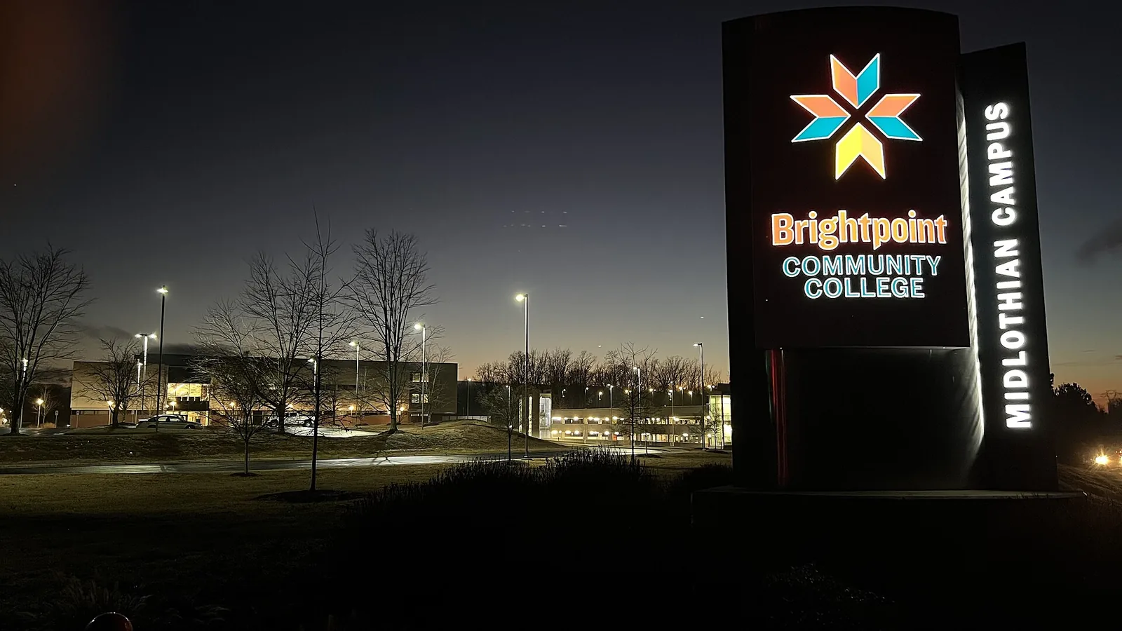
Brightpoint Community College’s Midlothian campus, 800 Charter Colony Parkway, is inside the area. The county’s plan, written when the college was John Tyler Community College, describes six buildings on 126 acres, about two-thirds of it undeveloped. Midlothian High sits at the area’s northeast corner on the same parkway. Chesterfield County, not a town, runs police, fire and planning here.
Schools
Shares are of the area’s county address points. All five schools are Fully Accredited for 2025-26 on Virginia’s School Quality Profiles; pass rates are for all students on the 2025-26 Standards of Learning tests.
| Level | School | Share of the area | Reading pass rate | Math pass rate |
|---|---|---|---|---|
| High | Midlothian High, 401 Charter Colony Parkway | 100% | 96% | 82% |
| Middle | Midlothian Middle, 13501 Midlothian Turnpike | 69% | 88% | 87% |
| Middle | Tomahawk Creek Middle, 1600 Learning Place Loop | 31% | 89% | 89% |
| Elementary | J.B. Watkins Elementary, 501 Coalfield Road | 69% | 89% | 92% |
| Elementary | Evergreen Elementary, 1701 Evergreen East Parkway | 31% | 69% | 71% |
The line runs through the middle of Charter Colony. Bristol, Westwood, Berkley, Stewart, Haywood, Madison, Glenmore, Ashton, Oxford and Abbey villages, plus Otterdale, are zoned for Watkins and Midlothian Middle. Tanner, Hartley, Hawthorne, Armistead, Leland, Clayborne, Mallory, Sedwick and Rutherford villages are zoned for Evergreen and Tomahawk Creek. Check the exact address on the lookup. More in our schools guide.
Home values
The typical home value in ZIP 23114 was $468,325 in September 2026, up 2.7% from $456,008 a year earlier, according to the Zillow Home Value Index. The index is a modeled typical value for the middle third of homes, not a sale price, and covers the whole ZIP code. Zillow’s figure for its Midlothian area was $468,594. More in our home prices guide.
Parks and trails
No county park is inside the area. The nearest, from the county’s park layer:
- Mid-Lothian Mines Park, 13301 N. Woolridge Road, about half a mile east: 44 acres with the mine ruins, a pond, boardwalk and trails, open 6 a.m. to 8:30 p.m. daily.
- Midlothian Village Park, 13801 Westfield Road, about three-quarters of a mile north.
OpenStreetMap also shows Colony Park, a green space inside the area, and the Charter Colony Pools. More in our parks and trails guide.
Getting around
- Highways: about 2.4 miles by road to Powhite Parkway at Charter Colony Parkway, and about 2.9 miles to Route 288 at Midlothian Turnpike.
- The village, downtown and the airport: about 1.8 miles to Midlothian Turnpike at Coalfield Road, 17.5 miles to downtown Richmond and 28 miles to Richmond International Airport.
Distances are measured on the OpenStreetMap road network with the OSRM routing engine from the middle of the area; they are not drive times.
- Buses: GRTC’s schedule data for Oct. 18, 2026, to Jan. 23, 2027, has no stop in the area. The nearest is the Route 1A stop at Walmart Way, about 1.6 miles from the area’s edge.
More in our getting around guide.
Groceries and everyday stores
From OpenStreetMap, all just north of the area near Midlothian Turnpike:
- Kroger, 14241 Midlothian Turnpike
- Aldi, 14381 Winterview Parkway
- Publix, 200 Charter Colony Parkway, in the Charter Colony Shopping Center
- Ivymont Square Shopping Center, Midlothian Turnpike
How we drew this area
The area is every county-recorded Charter Colony village inside the Census boundary, except Crofton Village and the senior apartments, which are inside the village district, plus Otterdale, Buckingham Manor and Little Tomahawk Station. School and ZIP shares are counts of county address points, checked Oct. 19, 2026. Store and road locations are © OpenStreetMap contributors.
Frequently asked questions
What schools serve Charter Colony in Midlothian?
All of Charter Colony is zoned for Midlothian High. In the county’s address data, 69% of the area is zoned for J.B. Watkins Elementary and Midlothian Middle, mostly the northern villages, and 31% for Evergreen Elementary and Tomahawk Creek Middle, mostly the southern ones.
What ZIP code is Charter Colony?
- Zillow’s typical home value for 23114 was $468,325 in September 2026, up 2.7% in a year.
When was Charter Colony built?
Chesterfield County’s subdivision records show the first Charter Colony villages, Hartley, Leland, Rutherford and Tanner, recorded in 2003 and the last, Ashton Village, in 2012.
Is Brightpoint Community College in Charter Colony?
Its Midlothian campus is at 800 Charter Colony Parkway, inside the area. The county’s plan describes it as six buildings on 126 acres.
Have your say