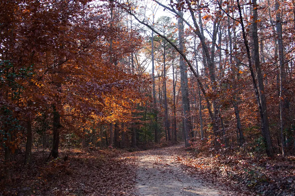
Pocahontas State Park has 90-plus miles of trails, Rockwood Park 5.5 miles and Robious Landing 3.4. The Fall Line Trail's Chesterfield section is underway.
Last checked Oct. 19, 2026. Distances and hours come from each park’s page at Chesterfield County Parks and Recreation and from Virginia State Parks; trail maps are linked for each park. Report a trail problem to trails@chesterfield.gov.
The big trail network near Midlothian is Pocahontas State Park, with more than 90 miles of hiking, mountain bike and multiuse trails. Closer to home, the county parks offer shorter loops: 5.5 miles at Rockwood Park, 3.4 miles along the James at Robious Landing and a history walk around the pond at Mid-Lothian Mines Park. The regional Fall Line Trail is under construction through southern Chesterfield.
Good to know
- Parks and Recreation: 804-748-1623
- Trail problems: trails@chesterfield.gov
- Pocahontas State Park: 804-796-4255; daily parking fee
- Dogs: leashed on all county land; see our dog-friendly guide
Trails at a glance
| Trail | Where | Distance | Surface and use | Map |
|---|---|---|---|---|
| Pocahontas State Park | 10301 State Park Road, Chesterfield | 90-plus miles | Hiking, mountain biking, multiuse | Park page |
| Rockwood Park | 3401 Courthouse Road | 5.5 miles | Hard and soft surface nature trails | Trail map (PDF) |
| Robious Landing Park | 3800 James River Road | 3.4 miles | Walking; riverside section closed | Trail map (PDF) |
| Mid-Lothian Mines Park | 13301 N. Woolridge Road | Pond loop and history trail | Boardwalk and trails | Trail map (PDF) |
| Huguenot Park | 10901 Robious Road | Fitness trail | Flat, wooded | Trail map (PDF) |
| Midlothian Village Park | 13801 Westfield Road | 0.3 mile | Unpaved | Trail map (PDF) |
| Irvin G. Horner Park | 17701 Genito Road, Moseley | See map | Trails beside ball fields | Trail map (PDF) |
Pocahontas State Park
Virginia’s Pocahontas State Park covers 7,919 acres around Swift Creek Lake and Beaver Lake. Its trails break down this way, according to Virginia State Parks:
- about 10 miles for hiking only
- more than 44 miles of directional mountain bike trails
- about 33 miles of multiuse trails and forest roads
The park is open daily until dusk. Virginia State Parks charges a daily parking fee, and dogs must stay on a leash no longer than 6 feet. Check trail status before you ride after rain.
County trails in and near Midlothian
Rockwood Park, the county’s oldest park, sits at Courthouse and Hull Street roads. Its 5.5 miles of walking trails mix hard and soft surfaces, with an arboretum, a nature center and a beginner orienteering course along the way.
Robious Landing Park is the county’s James River landing, with 3.4 miles of trails, restrooms and picnic shelters. The county says erosion from heavy rain and a high river washed out a section of the trail along the river, which is closed indefinitely.
Mid-Lothian Mines Park, open 6 a.m. to 8:30 p.m. daily, has a boardwalk and trails around the pond and the cut stone ruins of the old coal mines. It is also the start of the US Road Running 5K and 10K races on many Saturdays and of the CarMax Tacky Light Run in December. Tours: 804-751-4946.
Midlothian Village Park, 13801 Westfield Road, is a 6-acre park with 0.3 mile of unpaved trail, a short walk in the old village.
The Fall Line Trail
The Fall Line Trail is a planned 43-mile route from Ashland to Petersburg, the spine of a regional network linking the Virginia Capital Trail in Richmond and the Appomattox River Trail in Petersburg. More than 17 miles will be in Chesterfield, the most of the seven localities on the route.
On Oct. 7, 2026, VDOT broke ground on the 9.5-mile southern section, which starts at Route 10 in Chester and follows an old railroad corridor across the Appomattox River to Patton Park in Petersburg. It includes five bridges, rest stops, parking lots and a scenic overlook on the bridge over Swift Creek Lake, and is scheduled to be finished by October 2028.
Biking on the road
Before planning a road ride, check our getting around guide for the main roads and our road construction page for current work zones.
Related guides
Frequently asked questions
Where can I go mountain biking near Midlothian?
Pocahontas State Park, 10301 State Park Road, Chesterfield, has more than 44 miles of directional mountain bike trails among more than 90 miles of trails, according to Virginia State Parks. A daily parking fee applies.
How long are the trails at Rockwood Park?
Rockwood Park, 3401 Courthouse Road, has 5.5 miles of walking trails, both hard and soft surface, according to Chesterfield County.
When will the Fall Line Trail open in Chesterfield?
VDOT broke ground on the 9.5-mile southern section, from Route 10 in Chester to Petersburg, on Oct. 7, 2026, and it is scheduled to be finished by October 2028. More than 17 miles of the 43-mile trail will be in Chesterfield.
Is the Robious Landing river trail open?
Part of it is closed. Chesterfield County says a section of the James River trail at Robious Landing Park washed out and is closed indefinitely; the park has 3.4 miles of trails.
Have your say